Navigation
Maps & Images
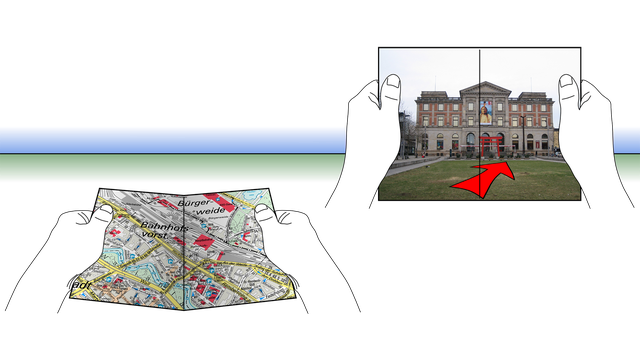
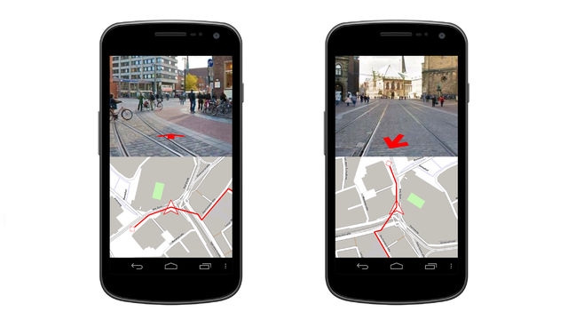
Several studies have shown advantages of map-image-combinations for pedestrian navigation. This work investigates interaction concepts to combine maps and panoramic photographs. More...
Dirk Wenig, Stefan Brending, Nina Runge and Rainer Malaka (2014) Using Split Screens to Combine Maps and Images for Pedestrian Navigation In Journal of LBS: Journal of Location Based Services 8(3), 179-197. Taylor & Francis. 10.1080/17489725.2014.977519 | BibTex
Dirk Wenig and Rainer Malaka (2010) Interaction with Combinations of Maps and Images for Pedestrian Navigation and Virtual Exploration In MobileHCI '10: Proceedings of the 12th International Conference on Human Computer Interaction with Mobile Devices and Services, 377-378. ACM, New York, NY, USA. 10.1145/1851600.1851673 | BibTex Best Poster Award
folloNavigator
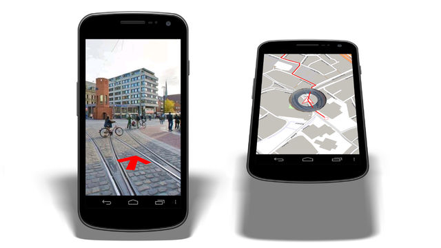
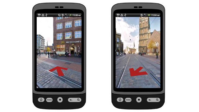
Panoramic photographs take image-based navigation to the next level and offer contextual information. Interaction supporting the user to utilize the additional value is required. More...
Dirk Wenig, Tim Nulpa, Rainer Malaka and Michael Lawo (2012) An Evaluation of Peephole Interaction with Panoramic Photographs for Pedestrian Navigation In GI Zeitgeist 2012: Proceedings of the Young Researchers Forum on Geographic Information Science. ifgiPrints 44. AKA. | BibTex


